The best waterfalls in Kentucky sit in two clusters: the Cumberland Falls and Yahoo Falls area in the south, and the Red River Gorge to the east of Lexington, with Bad Branch Falls on Pine Mountain as the far-east bonus. Here is how to string them into a road trip, what each hike involves, and which ones need rain to be worth the drive.
How to plan a Kentucky waterfall trip
Kentucky’s falls are not spread evenly across the state. Most of the big ones pour off the sandstone edge of the Cumberland Plateau, inside or near the Daniel Boone National Forest. That makes planning simple: pick a base, then hit the falls nearby rather than zigzagging across the map.
- Southern loop (one or two days): Cumberland Falls, Eagle Falls, Dog Slaughter Falls and Yahoo Falls. All four sit in Whitley and McCreary counties, close to I-75 at Corbin and US 27 at Whitley City.
- Red River Gorge (half a day to add on): Creation Falls and Rock Bridge, an easy pairing if you are already in the Gorge for hiking.
- Far east (a dedicated day): Bad Branch Falls, near Whitesburg in Letcher County, for people who want the wildest of the bunch.
The one rule that matters more than the route: water levels. Several of these falls are wet-weather falls. After a dry spell they can shrink to a trickle, and after a few days of rain they roar. Check recent rainfall before you commit to a long drive for a single waterfall.

The southern loop
1. Cumberland Falls
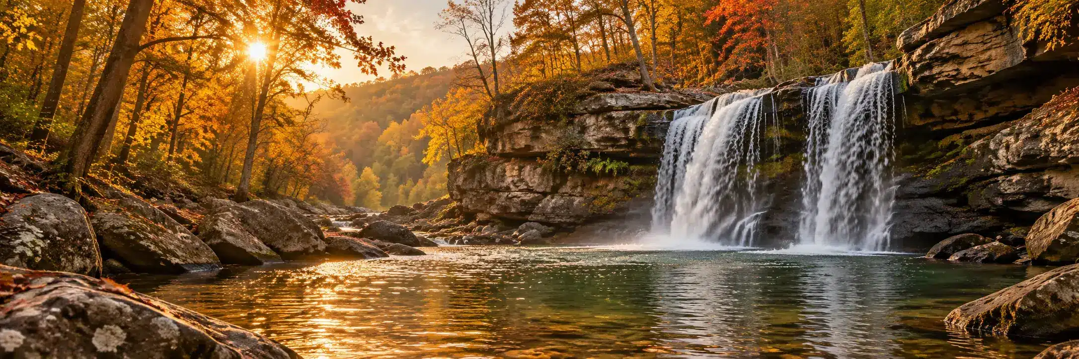
This is the headliner. Kentucky Tourism puts the falls at about 68 feet tall and 125 feet wide, which is why you will hear it called the Niagara of the South. It sits inside Cumberland Falls State Resort Park, off KY 90 near Corbin, and the main overlooks are a short walk from the parking area. No real hike is needed, which makes it the right first stop for kids and grandparents.
The famous extra is the moonbow, a rainbow made by moonlight in the mist. It can appear on clear nights around a full moon, and the park publishes a list of likely moonbow dates. If you want to try for it, check the current dates on the Kentucky State Parks site and watch the forecast, because clouds cancel the show.
The park also has the historic DuPont Lodge, cottages and a campground if you want to stay on site and make this your base for the whole southern loop.
2. Eagle Falls
Eagle Falls is the waterfall most visitors to Cumberland Falls never see, and it is worth the extra effort. Eagle Creek drops roughly 44 feet onto the rocks at the edge of the Cumberland River. The hike starts from Trail 9 off KY 90 inside the park and runs about a mile and a half, with views back toward the big falls along the cliff line.
Expect stairs, roots and rock hopping near the end. The lower part of the trail can flood when the river is high, so skip it after heavy rain or check with the park first.
3. Dog Slaughter Falls
Dog Slaughter Falls is a smaller, quieter waterfall on Dog Slaughter Creek near where it meets the Cumberland River, in the London Ranger District of the Daniel Boone National Forest. It is a modest drop with a pool below it.
Read the current alert before you go. As of the latest Forest Service notice, storm damage has closed the trail between its two trailheads. The lower trailhead and parking area, closest to the falls, remain open and the path from there is passable. The bridge at that lower trailhead has been removed, so you have to cross the creek, and the creek can rise quickly in rain. If the water is up, turn around.
4. Yahoo Falls
At 113 feet, Yahoo Falls is the tallest waterfall in Kentucky, according to the Big South Fork National River and Recreation Area. The loop trail is about a mile, mostly easy, with some very steep metal steps. The best part is that the trail passes behind the falls, under one of the largest rock shelters in the area.
To get there, Kentucky Tourism directs you to take KY 700 from US 27 at Whitley City, then follow a gravel road about 1.5 miles to the picnic area and trailhead. If you have energy left, an out-and-back spur to Yahoo Arch adds about 1.6 miles. The Sheltowee Trace also passes through here, so you may meet backpackers heading through. Our Sheltowee Trace guide covers the long trail.
Yahoo is a thin, wispy fall that depends heavily on rain. After a dry week it can be little more than a drip. After a wet one it is the best stop on the loop.
Red River Gorge: Creation Falls and Rock Bridge
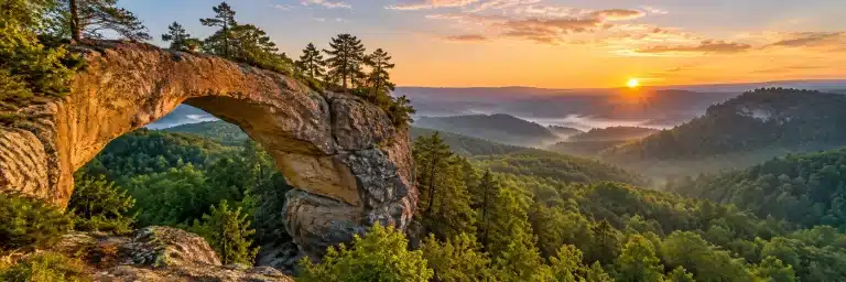
The Red River Gorge is famous for arches more than waterfalls, but one easy trail gives you both. Rock Bridge Recreation Area sits at the end of Forest Service Road 24 (Rock Bridge Road), reached from Slade by way of KY 15 and KY 715. Rock Bridge Trail #207 is a short loop past Creation Falls, a small, pretty falls on Swift Camp Creek, and Rock Bridge itself, an arch that spans the creek. The Forest Service lists no fee for the site, a vault toilet and no drinking water, so bring your own.
New to the Gorge? Start with our list of Red River Gorge hikes for first-timers.
Far east: Bad Branch Falls
Bad Branch Falls is the one for people who like their waterfalls with a little effort and a lot of quiet. According to the state nature preserve page, a 60-foot waterfall plunges over a sandstone cliff on the south face of Pine Mountain, inside a preserve of more than 2,500 acres in Letcher County.
Directions from the state: from the junction of KY 15 and US 119 at Whitesburg, follow US 119 south 8 miles, turn left onto KY 932 and go east 2 miles to the gravel lot on the left. The lot is small. The preserve’s brochure describes a moderately strenuous trail that follows an old logging road through the gorge and steepens near the cliffs.
State nature preserves have stricter rules than parks. The preserve brochure lists sunrise-to-sunset hours, foot traffic only, and no pets, picnicking, camping or overnight parking. There are no facilities. Leave the dog at home for this one and check the current rules before you go.
A note on Anglin Falls
Anglin Falls near Berea, a tall wet-weather falls in the John B. Stephenson Memorial Forest State Nature Preserve, shows up on a lot of older Kentucky waterfall lists. Berea College has closed it temporarily for restoration after trail damage and heavy use, with no reopening date posted. Please respect the closure and check that page for updates.
Kentucky waterfalls at a glance
| Waterfall | Where | Effort | Needs rain? |
|---|---|---|---|
| Cumberland Falls | Cumberland Falls State Resort Park, KY 90 | Short walk to overlooks | No, flows year-round |
| Eagle Falls | Same park, Trail 9 | Moderate, rugged end | Better after rain |
| Dog Slaughter Falls | Daniel Boone NF, London District | Easy to moderate, creek crossing | Avoid when high |
| Yahoo Falls | Big South Fork, off KY 700 | About 1 mile loop, steep steps | Yes |
| Creation Falls | Red River Gorge, Rock Bridge Road | Short loop | Better after rain |
| Bad Branch Falls | Letcher County, KY 932 | Moderately strenuous | Better after rain |
Something to bring home from the trip, or to hand to the person who always wants to stop at one more overlook:
 Kentucky Enamel Camp Mug: Creek and waterfall, Woodcut Kentucky Silhouette$32.95See it →
 Sheltowee Trace Vinyl Sticker: Sheltowee Trace, Forest Ink Stamp Price range: $14.95 through $22.95See it →
 Red River Gorge Stainless Steel Water Bottle: Kentucky Looks Better from the Trail, Forest Ink Stamp$45.95See it →
When to go
Spring is peak waterfall season. Rain is reliable, the creeks run full and wildflowers line the trails. Summer works for Cumberland Falls, which flows all year, but the smaller falls can get thin. Fall brings color and fewer bugs, though early autumn is often dry, so pair a waterfall run with a rainy week if you can. If color is the main goal, see our Kentucky fall color drives. Winter can be spectacular when cold snaps freeze the spray into ice, but trails get slick and steps ice over. Bring traction and patience.
Staying safe around Kentucky waterfalls
- Stay behind railings and back from cliff edges. Wet sandstone is slick, and the drop is the whole point of a waterfall.
- Do not climb on the falls or wade near the lip.
- Creeks rise fast in rain. If a crossing looks doubtful, it is.
- Cell service is patchy in the Gorge and the Big South Fork area. Download maps before you leave town.
Questions people ask
What is the tallest waterfall in Kentucky?
Yahoo Falls in the Big South Fork National River and Recreation Area, at 113 feet according to the National Park Service. It is tall but thin, so it looks best after rain.
What is the biggest waterfall in Kentucky?
By volume and width, Cumberland Falls. Kentucky Tourism lists it at about 68 feet tall and 125 feet wide, and it flows year-round.
When can you see the moonbow at Cumberland Falls?
On clear nights around a full moon, when there is enough mist and no cloud cover. The park posts expected moonbow dates each year, so check its current list before planning a night visit.
Can you see waterfalls in the Red River Gorge?
Yes, though the Gorge is better known for arches. Creation Falls on the Rock Bridge Trail #207 loop is the easiest one to reach, and it comes with an arch over the creek.
Are dogs allowed at Kentucky waterfalls?
It depends on who manages the land. State parks and the national forest generally allow leashed dogs on trails, but state nature preserves such as Bad Branch do not allow pets. Check each site’s rules before you load up the car.
What is the best time of year for Kentucky waterfalls?
Spring, or any time within a few days of a good soaking rain. Wet-weather falls like Yahoo and Anglin can nearly disappear in a dry spell.
More in Kentucky Scenes and the full Nature & Adventure collection.