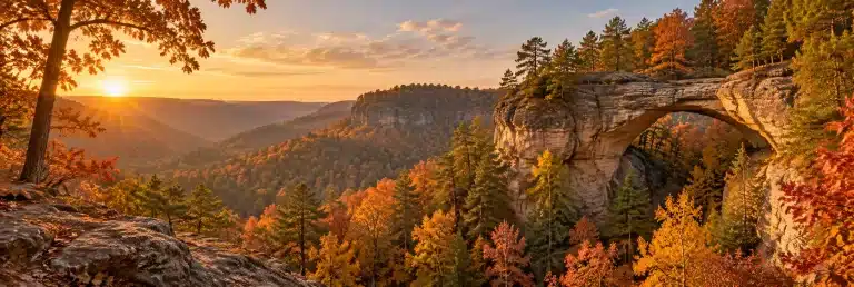
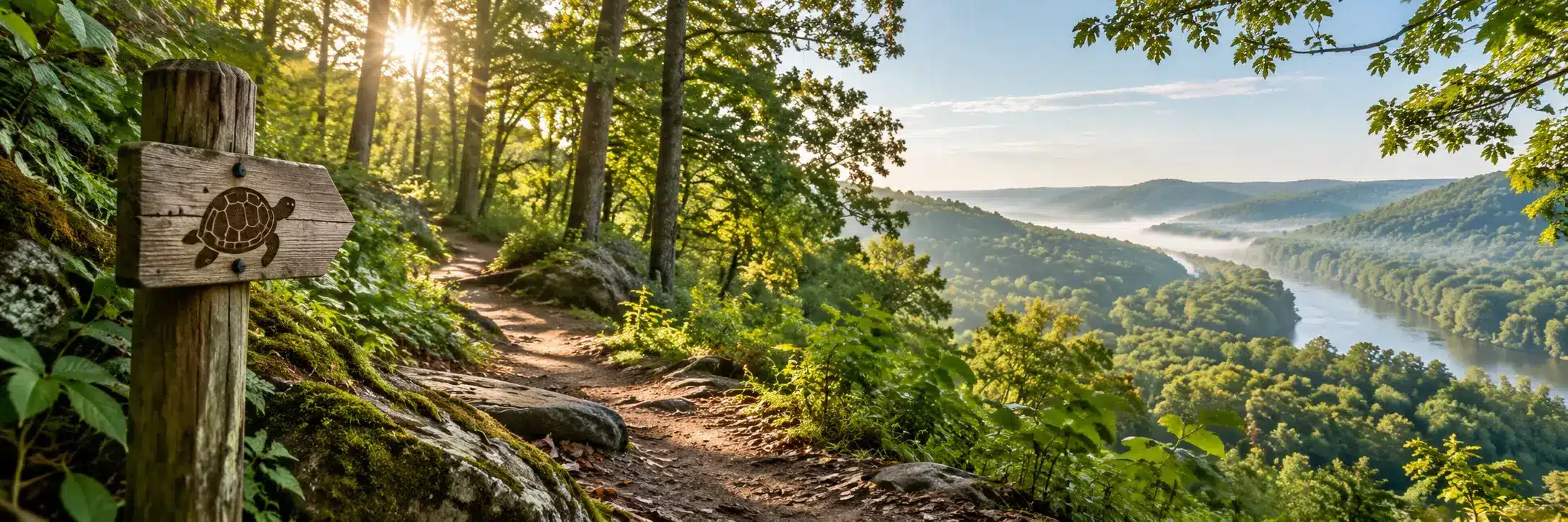
The Sheltowee Trace is Kentucky’s long trail: a National Recreation Trail that runs from the Morehead area in northern Kentucky south through the Daniel Boone National Forest into Tennessee’s Big South Fork. The Sheltowee Trace Association lists its official distance as 343 miles as of 2025, and you can hike all of it or just the piece closest to you.
Most people meet the Trace by accident. They are hiking near Natural Bridge or Cave Run Lake and notice a white turtle painted on a tree. That turtle is the whole story in one symbol, and this guide will help you go from spotting it to planning a day, a weekend or the full thing.
What the Sheltowee Trace is
The trail is named for Daniel Boone. Sheltowee, which means Big Turtle, was the name the Shawnee gave Boone when he was adopted by Chief Blackfish. The Forest Service dedicated the trail in 1979 as part of the Daniel Boone National Forest trail system, where it carries the number 100.
The route runs the length of the national forest and connects into the Big South Fork National River and Recreation Area in Tennessee. Along the way it passes through Natural Bridge State Resort Park, Cumberland Falls State Resort Park, the Red River Gorge area, and past Cave Run Lake and Laurel River Lake. It is a multi-use trail, so depending on the section you may share it with mountain bikers, horses and, on certain designated stretches, off-road vehicles.
How long is it, really?
You will see a lot of different numbers online, and they are not all wrong. The Trace has been rerouted and extended over the years, and older guides and maps list shorter distances. The Sheltowee Trace Association, which looks after the trail with the Forest Service, gives 343 miles as the official distance as of 2025 and says more mileage is planned. When in doubt, go with the STA’s current figure and the latest maps.
How it is marked
Look for white diamond blazes and white turtle blazes on trees. Where the Trace shares tread with other trails, you will often see its blazes alongside theirs. If you go a while without seeing one, stop and backtrack to the last blaze rather than pushing on.

Good sections to start with
You do not have to thru-hike to enjoy the Trace. Plenty of people collect it a section at a time, and some of the best known scenery in eastern Kentucky sits right on it.
Natural Bridge and Whittleton Branch
The Forest Service describes the Whittleton Branch section, which runs between KY 15 across from Tunnel Ridge Road and Whittleton Campground at Natural Bridge State Resort Park, as a creekside walk through rich forest with a short side trail to Whittleton Arch. It is best in spring for wildflowers, from late March to late April depending on the weather. It is not a loop, so plan to backtrack or set up a shuttle, and the Forest Service warns it is known for mud and wet conditions. Our Natural Bridge State Resort Park guide covers the park end.
Cumberland Falls
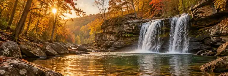
The Trace passes through Cumberland Falls State Resort Park, home of one of the best known waterfalls in the state. It is an easy place to hop on for a few miles and see why people fall for this trail. If waterfalls are your thing, our Kentucky waterfalls road trip has more.
Big South Fork
The southern end follows the Big South Fork country. The Forest Service describes one section there that follows the Big South Fork River for 7 miles to Yamacraw Bridge, with side trails to Lick Creek Falls and Princess Falls. It also warns about creek fords and boulder scrambles with tricky footing, so it is a better pick once you have a few sections behind you.
Cave Run Lake and the north end
The northern end runs near Morehead and the Cave Run Lake area, where recent reroutes have added mileage. Morehead is one of the STA’s official trail towns, which makes it a handy base for day sections.
 Sheltowee Trace Enamel Camp Mug: Sheltowee Trace, Forest Ink Stamp$32.95See it →
 Sheltowee Trace Black Coffee Mug: Turtle Trail Badge Price range: $20.95 through $23.95See it →
 Nature and Adventure Vinyl Sticker: My Weekend Has Trail Markers, Forest Ink Stamp Price range: $14.95 through $22.95See it →
Planning a thru-hike
If the full trail is calling, the Sheltowee Trace Association’s thru-hiker page is the place to start. A few things it says are worth knowing up front:
- Time. The STA says the average is 25 days, and it can be done in 21. It encourages taking about a month rather than racing.
- Direction. Most hikers start in the north and head south, because trail towns are closer together early on and you can carry less food at the start.
- Trail towns. The STA names five: Morehead, McKee, Livingston, London and Stearns, each with shuttle options to food and lodging.
- Shuttles. Request them at least five days before you need one. Volunteer drivers cover various sections and commercial providers serve the south end.
- Water. There are many streams and creeks along the Trace, but all water should be filtered and treated. Check the STA site for drought or flood updates before you go.
- Wet feet. There are plenty of stream crossings. The STA puts it plainly: you will get your feet wet.
Want company and a plan? The STA runs a Hiker Challenge that covers the whole trail in 12 hikes over 11 months, roughly one weekend a month, with shuttles included. Details and current costs are on the STA Hiker Challenge page. Finishers can also be recorded on the STA’s End to End registry.
Permits, passes and camping
Rules change as you move between land managers, which is one of the trickier parts of the Trace. Based on the STA’s permits page and the Forest Service:
| Area | Backcountry camping |
|---|---|
| Daniel Boone National Forest | Free, with campgrounds available too |
| Red River Gorge Geological Area | No camping permit, but vehicles parked overnight in the covered area need a recreation pass between 10 p.m. and 6 a.m. |
| Big South Fork NRA | Backcountry permit required |
| Natural Bridge State Resort Park | Not permitted, use the park campgrounds |
| Cumberland Falls State Resort Park | Use the established campground |
In the Red River Gorge, camping is also banned within 300 feet of developed roads and trails and within 600 feet of Gray’s Arch, except at designated sites. Fees and rules change, so check the STA permits page and the Forest Service before each trip. Our Red River Gorge packing list also works well as a starting kit for a Trace weekend.
Practical tips for any section
- Get current maps. The STA sells print map sets and a guidebook, and points hikers to the FarOut app. Because of reroutes, an old map can send you the wrong way.
- Use existing campsites. Practice Leave No Trace and do not create new sites.
- Do not camp under rock houses or cliff lines except in an emergency, as the STA advises.
- Share the trail. Yield as posted to horses and bikes on multi-use sections.
- Check alerts. The Daniel Boone National Forest posts road closures and trail alerts, and some gravel roads to trailheads close in winter.
- Know the hunting seasons. The national forest is open to hunting in season. Wearing bright orange in fall is a simple precaution.
Questions people ask
How long is the Sheltowee Trace?
The Sheltowee Trace Association lists the official distance as 343 miles as of 2025. Older sources give shorter numbers because the route has been rerouted and extended over time.
Where does the Sheltowee Trace start and end?
The northern end is in Rowan County near Morehead, Kentucky. The southern end is in the Big South Fork area of Tennessee. Older maps show Pickett State Park as the southern end, and the STA’s current maps have the latest route.
How long does it take to hike the Sheltowee Trace?
The STA says the average thru-hike takes 25 days, and it can be done in 21. Many people hike it in sections over months or years instead.
What does Sheltowee mean?
Big Turtle. It was the name the Shawnee gave Daniel Boone, which is why the trail is marked with a white turtle.
Do you need a permit to hike the Sheltowee Trace?
Not to hike. Camping rules depend on where you are: backcountry camping is free in most of the Daniel Boone National Forest, the Big South Fork needs a backcountry permit, and the Red River Gorge needs an overnight parking pass for your vehicle.
Is the Sheltowee Trace good for beginners?
Some sections are. Short stretches near Natural Bridge or Cumberland Falls make good first outings. The longer, more remote sections with creek fords are better once you have some experience.
More in Sheltowee Trace and Nature & Trail Life.