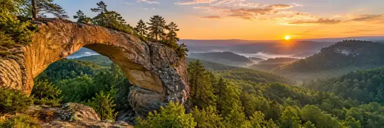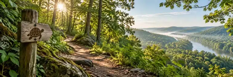
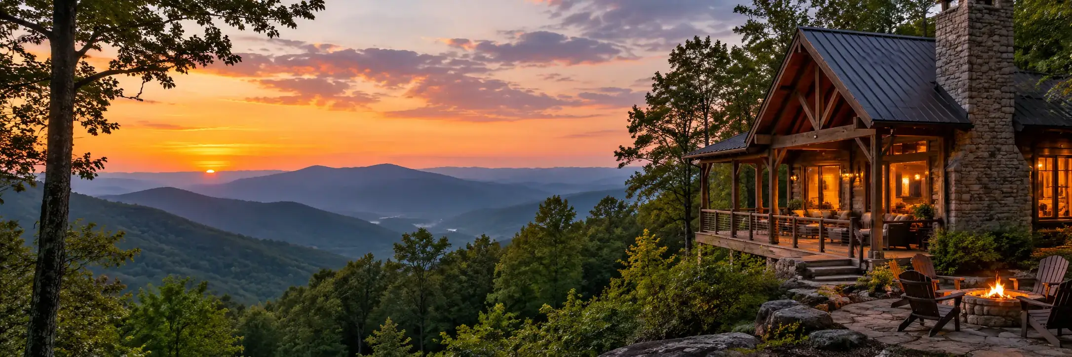
Fall in Gatlinburg means driving the Roaring Fork Motor Nature Trail, chasing color up to Kuwohi, touring Cades Cove, walking the 8-mile Arts and Crafts loop and seeing the town’s harvest decorations. Here is how to fit them together without spending the whole trip in traffic.
This guide covers the national park next door and the town itself. It sticks to things that happen every fall, and it tells you which details to check before you go, because roads, trails and events change from year to year.
When the color actually shows up
Fall color in the Smokies doesn’t arrive all at once. It starts at the top of the mountains and works its way down. According to the National Park Service fall color page, color at the highest elevations can begin as early as mid-September. From early to mid-October it usually develops above 4,000 feet. Below 4,000 feet, which includes Gatlinburg and most of the valleys, the best displays commonly land between mid-October and early November.
That spread works in your favor. If you arrive early in October and town is still mostly green, drive uphill. If you come in early November and the high ridges are bare, the low valleys may be at their best. The park itself says the exact peak is hard to predict, so plan for a range and don’t build the trip around a single date.

Two things to sort out before you leave home
Buy your parking tag
There is no entrance fee for Great Smoky Mountains National Park, but you need a parking tag for any vehicle parked in the park for more than 15 minutes. The park’s fees page lists three options: daily ($5), weekly ($15) and annual ($40). Each tag covers one vehicle and has to show that vehicle’s license plate number. You need to display a physical tag, and the park does not accept a phone screen. Most trailheads have no tag machines, so buy one online and print it at home, or pick one up at the Gatlinburg Welcome Center or Sugarlands Visitor Center on the way in. Some pull-offs, like the ones along Roaring Fork, don’t sell tags at all.
Expect October crowds
The park calls October its busiest month of the year. Its own fall page warns that some drives can take hours longer than usual. The practical fix is simple. Start early, have a Plan B for every popular trailhead, and save the busiest spots for weekdays if you can.
In the national park
Roaring Fork Motor Nature Trail
This is the closest scenic drive to downtown, and it is ideal for fall. It’s a narrow, one-way, 5.5-mile loop past rushing streams, old-growth forest and preserved log cabins and mill buildings. To get there, turn off the Parkway at traffic light #8 and follow Historic Nature Trail Road to the Cherokee Orchard entrance. The motor nature trail starts just past the Rainbow Falls trailhead. Look for the Place of a Thousand Drips, a waterfall on a rock wall near the end. Buses, trailers and motor homes aren’t allowed. The 2026 seasonal road schedule lists the road as open April 17 to November 29, but check for temporary closures before you go.
Kuwohi (formerly Clingmans Dome)
Kuwohi is the highest point in the park at 6,643 feet, which makes it the first place in the Smokies to change color. From the parking area at the end of Kuwohi Road, a steep paved path climbs to the observation tower, about one mile round trip. The road is closed in winter. The 2026 schedule shows it open through November 29, as long as the weather cooperates. Bring a warm layer. The park notes that temperatures can run 10 to 20 degrees cooler at the top than at the base.
Cades Cove
Cades Cove is an 11-mile, one-way loop road around a wide valley with old churches, a working gristmill, barns and log homes. It’s one of the park’s best places to see deer and turkeys, and sometimes black bears. The park suggests allowing at least two to four hours. The loop is open sunrise to sunset. Its weekly Wednesday vehicle closure usually runs only from May through September, so fall visitors can usually drive it any day of the week.
A walk with the dog
Most park trails don’t allow dogs. The Gatlinburg Trail is one of only two that do. It runs about 4 miles round trip along the river between Sugarlands Visitor Center and the edge of town, past old stone chimneys. Dogs must stay on a leash no longer than 6 feet.
Short hikes and waterfalls
If you want to get out of the car for an hour or two, our guide to easy hikes in the Smokies has distances and trailheads. One heads-up: Laurel Falls, the classic short waterfall walk near Gatlinburg, closed in January 2025 for a major rebuild, and the park now expects it to reopen sometime in 2027.
 Gatlinburg and the Smokies Enamel Camp Mug: My Gatlinburg Itinerary: Wander, Eat, Repeat, Woodland Scenic Lettering$32.95See it →
 Gatlinburg and the Smokies Vinyl Sticker: Smoky Mountain Air. Small-Town Strolls, Scenic Shield Badge Price range: $14.95 through $22.95See it →
 Gatlinburg and the Smokies Black Coffee Mug: Gatlinburg: A Little Town, a Lot of Mountain, Scenic Shield Badge Price range: $20.95 through $23.95See it →
In town
Great Smoky Arts and Crafts Community
This is the best rainy-day plan in Gatlinburg, and it’s just as good on a sunny one. The community began in 1937 and now includes more than 100 artists and craftspeople, plus places to eat, along an 8-mile loop east of downtown. You’ll find potters, woodworkers, painters, jewelers and more, many working in their studios. To drive it, head east on US 321 (East Parkway) and follow Glades Road and Buckhorn Road back around. The free Gatlinburg Trolley also has a route that serves the area.
Smoky Mountain Harvest Festival
The city decorates for fall in a big way. Gatlinburg.com describes its Harvest Festival as running from mid-September through late November. It includes life-size scarecrow figures around downtown, a scarecrow scavenger hunt in the Visit Gatlinburg app, and a People’s Choice vote on the best decorated businesses. Dates and details change every year, so check the official festival page before planning around it.
See the color from above
If you’d rather look at the leaves than hike to them, Gatlinburg has several ways to get up high:
- Gatlinburg SkyLift Park takes you up Crockett Mountain to the SkyBridge, which it bills as North America’s longest pedestrian suspension bridge.
- Gatlinburg Space Needle is 407 feet tall with a 360-degree observation deck, right in the middle of town.
- Anakeesta sits on a mountaintop above downtown, and its AnaVista Tower is described as the highest point in Gatlinburg.
- The aerial tramway to Ober Gatlinburg leaves from the Parkway downtown and climbs Mount Harrison.
- The Gatlinburg Scenic Overlook on the Gatlinburg Bypass is free. It’s a pull-off with a view over town toward Mount Le Conte.
Hours and ticket prices for the paid attractions change by season, so check each one directly.
Ride the trolley instead of hunting for parking
Downtown parking gets tight on fall weekends. Rides on the Gatlinburg Trolley are free. The city’s schedule shows trolleys running 8:30 AM to midnight from May through October, then shorter hours from November. There’s a park-and-ride lot at the Gatlinburg Welcome Center on Banner Road. Every route stops at the Mass Transit Center by Ripley’s Aquarium of the Smokies.
A sample fall day
- Early: Coffee on the porch, then drive Roaring Fork before the traffic builds.
- Late morning: Walk the Sugarlands Valley Nature Trail, a flat, paved half-mile loop by the visitor center, or take the dog along the Gatlinburg Trail.
- Afternoon: Take a slow lap of the Arts and Crafts loop and get lunch along the way.
- Golden hour: Head up to one of the viewpoints above, or go to the free overlook on the Bypass.
- Evening: Ride the trolley downtown to see the harvest decorations, then go back to the cabin.
Staying in a cabin? Our Smoky Mountain cabin packing list covers what to bring for cold mornings and warm afternoons. And if you’d like to bring the trip home with you, see our Gatlinburg and Smoky Mountain gift guide.
 Gatlinburg and the Smokies Enamel Camp Mug: I Like My Mountains with a Little Mystery, Scenic Shield Badge$32.95See it →
 Gatlinburg and the Smokies Vinyl Sticker: Smoky Views. Sunny Mood, Vintage Round Badge Price range: $14.95 through $22.95See it →
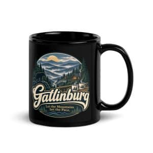 Gatlinburg and the Smokies Black Coffee Mug: Gatlinburg. Let the Mountains Set the Pace, Woodland Scenic Lettering Price range: $20.95 through $23.95See it →
Questions people ask
When is peak fall color in Gatlinburg?
At Gatlinburg’s elevation, the best color most often comes between mid-October and early November. Higher up in the park it comes earlier, usually early to mid-October above 4,000 feet. The park says exact peak dates are hard to predict, so plan for a window.
Do I have to pay to enter Great Smoky Mountains National Park?
No, there’s no entrance fee. You do need a parking tag ($5 daily, $15 weekly or $40 annual) to park in the park for more than 15 minutes. It has to be a printed, physical tag displayed in the vehicle it was bought for.
Is the Roaring Fork Motor Nature Trail open in the fall?
Usually, yes. The 2026 schedule lists it as open April 17 to November 29. It’s one way and steep, and buses, trailers and motor homes aren’t allowed. Check the park’s closures page before you go.
Is Laurel Falls open?
No. The trail closed in January 2025 for rehabilitation, and the park now expects it to reopen sometime in 2027. Grotto Falls on Roaring Fork and Lynn Camp Prong Cascades near Tremont are the park’s suggested alternatives.
What can I do in Gatlinburg in the fall if it rains?
Go to the Great Smoky Arts and Crafts Community, where many artisans work indoors. Ripley’s Aquarium of the Smokies downtown is another option. Rain also makes the waterfalls along Roaring Fork run harder, so a slow drive is still worthwhile.
Can I bring my dog to the Smokies?
Yes, with limits. Leashed pets are allowed in campgrounds, in picnic areas and along roads, but only on two trails: the Gatlinburg Trail and the Oconaluftee River Trail.
More in Gatlinburg and the Smokies.